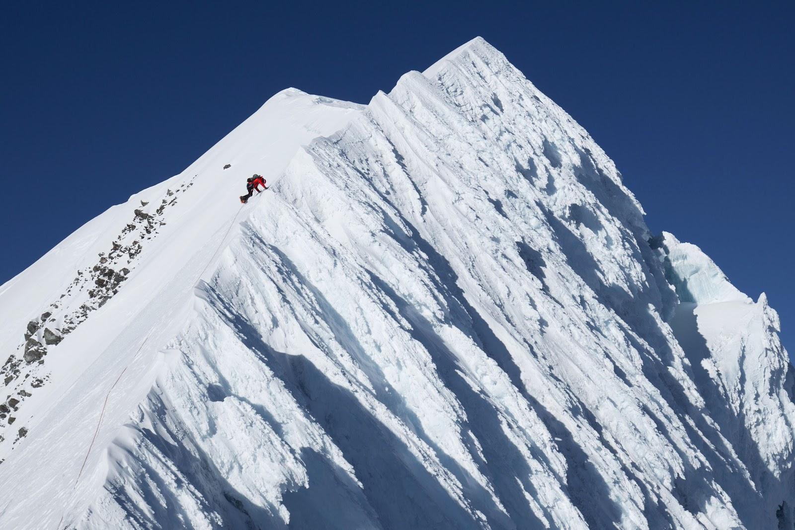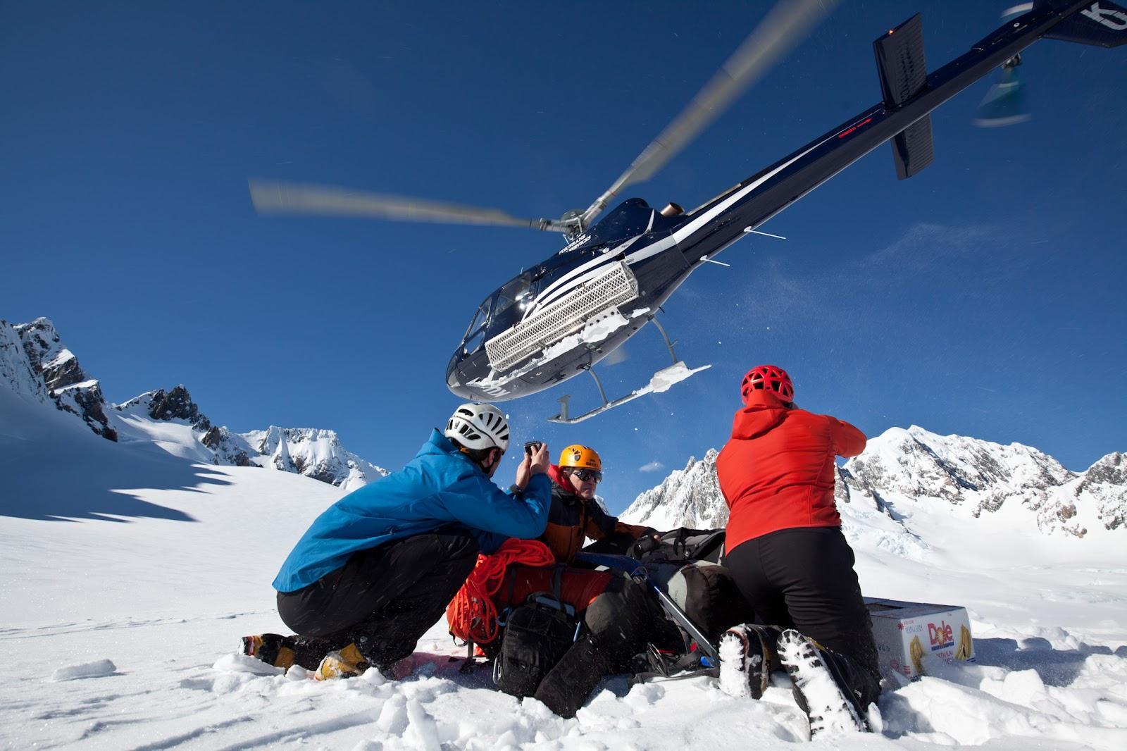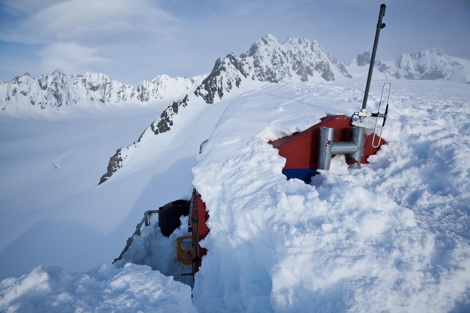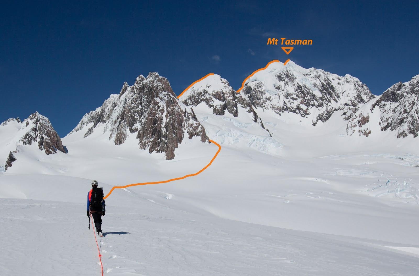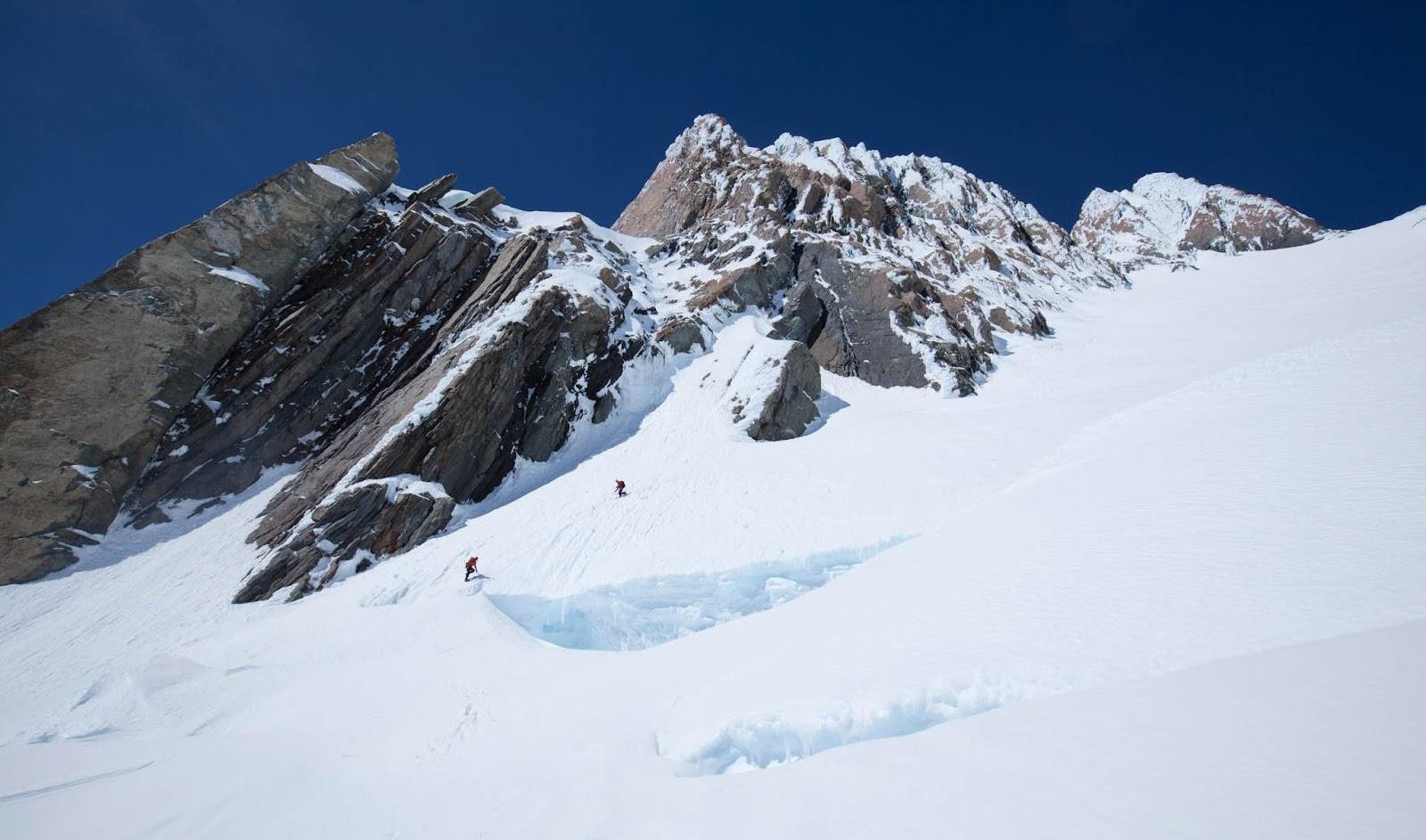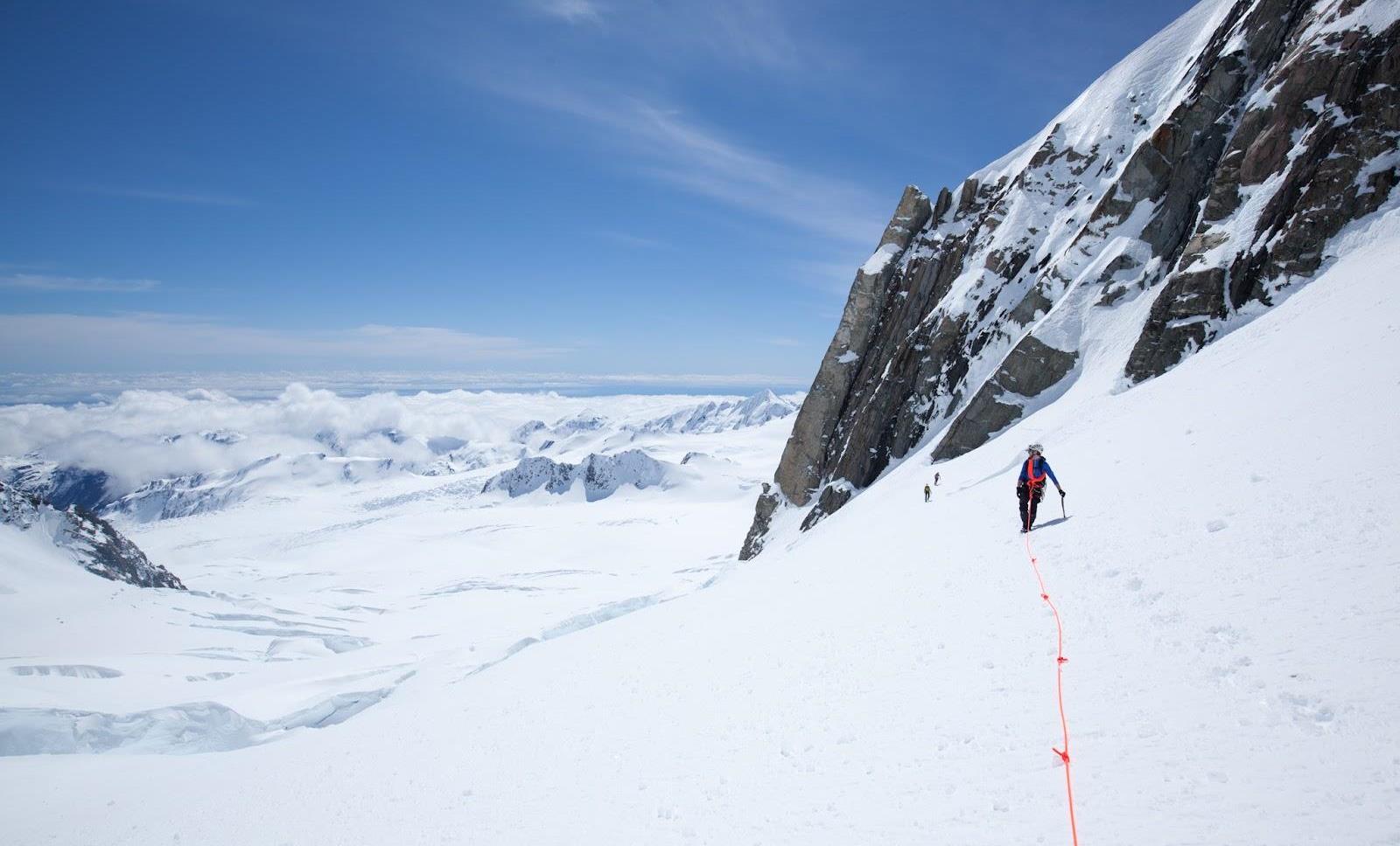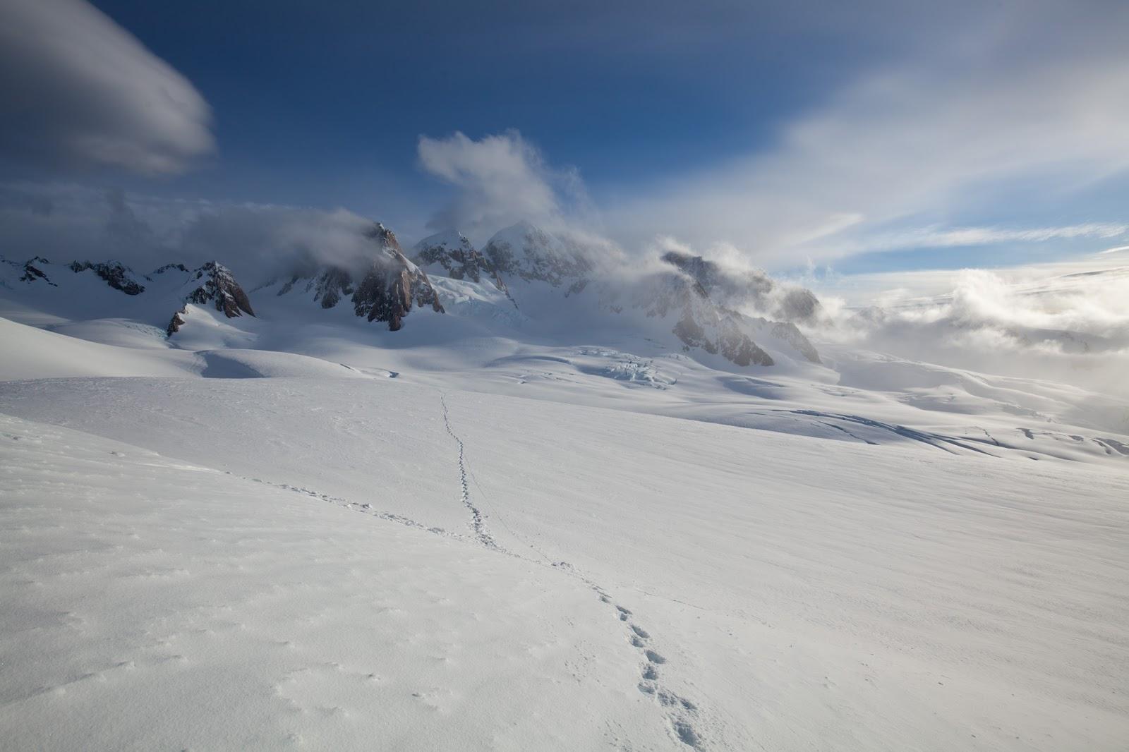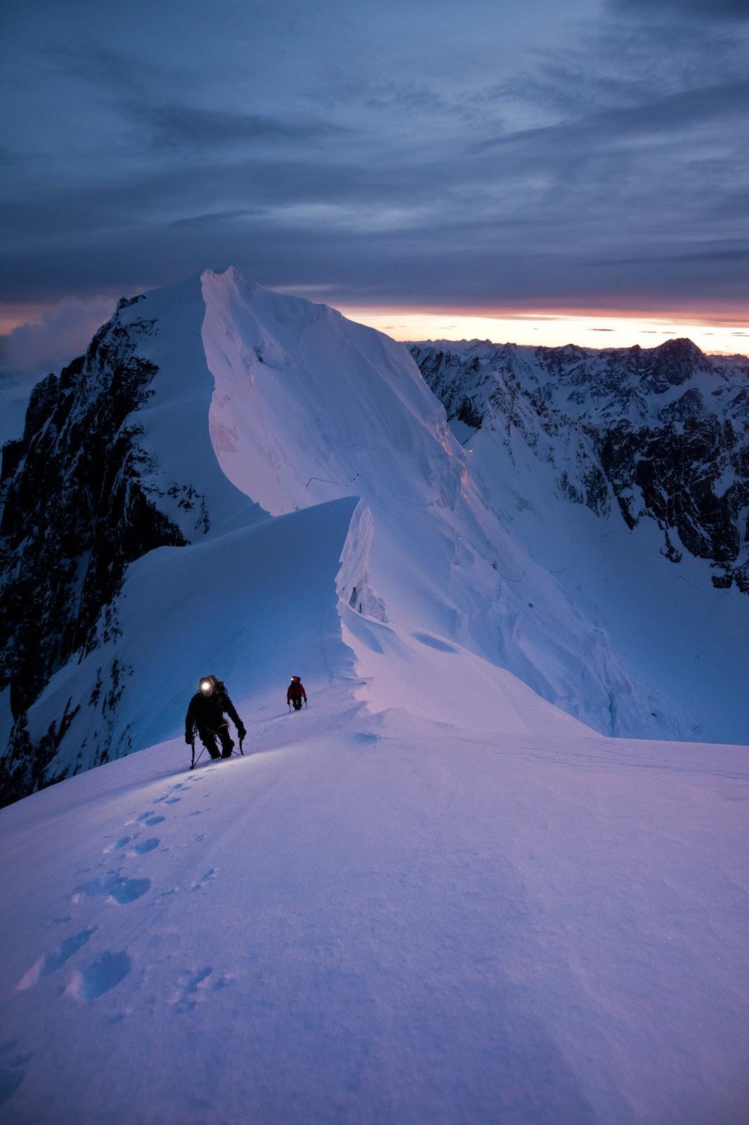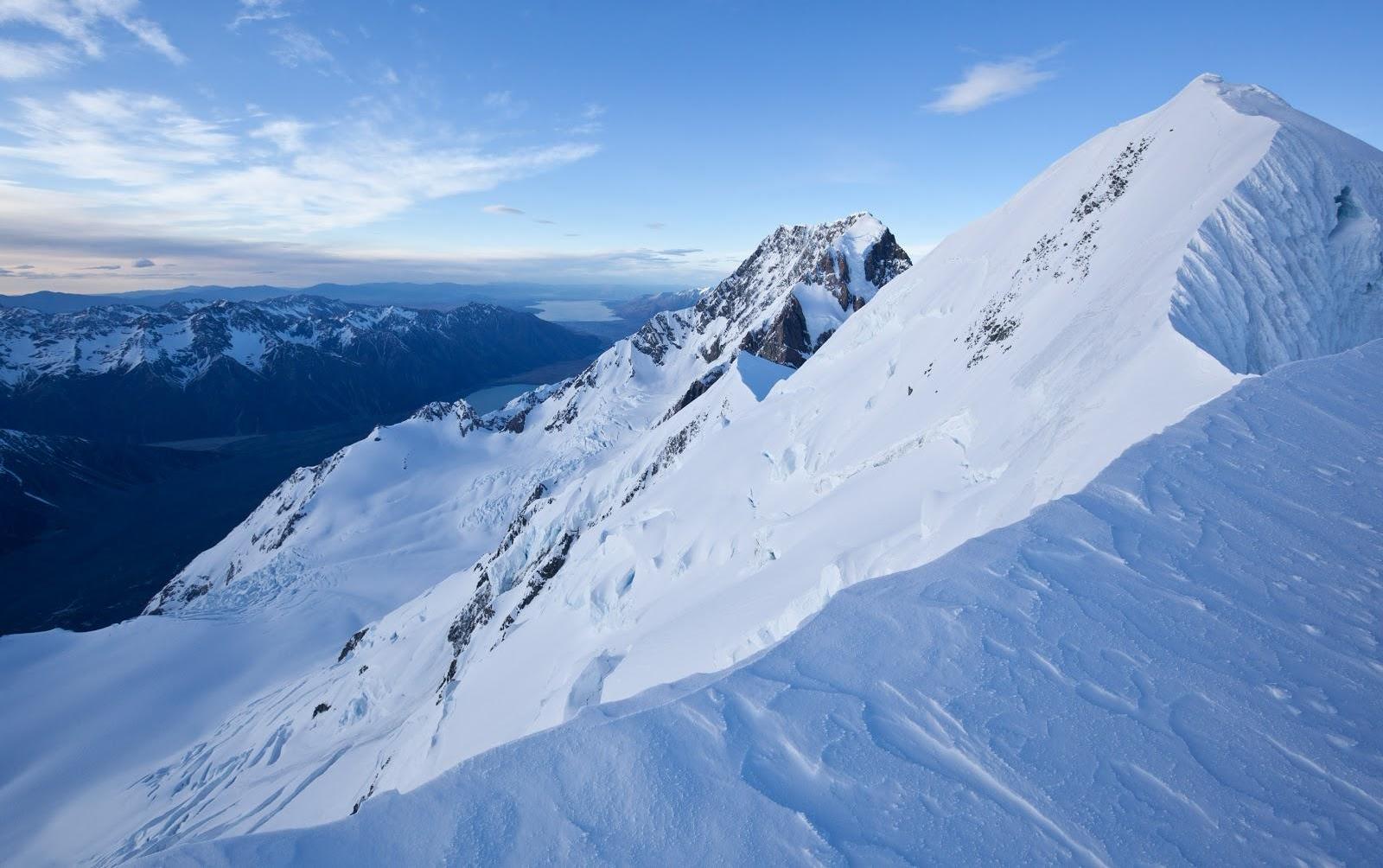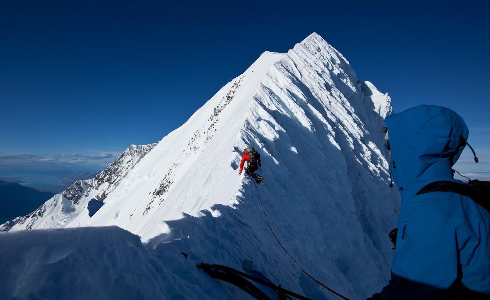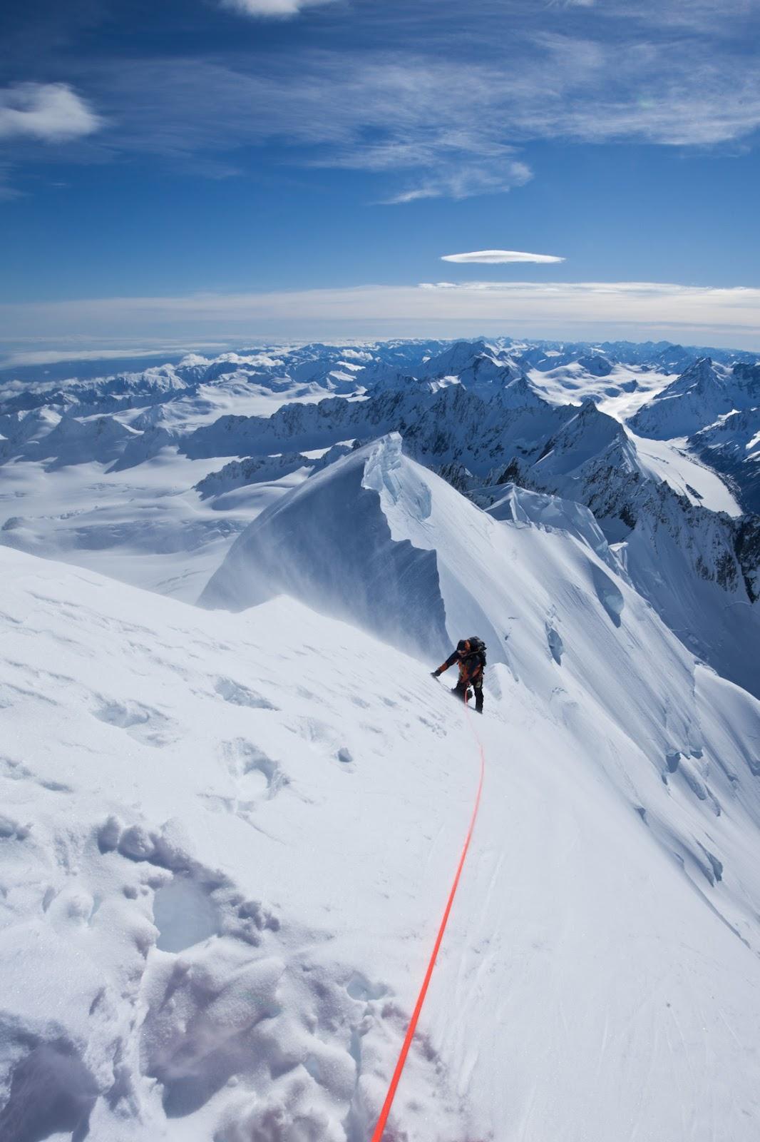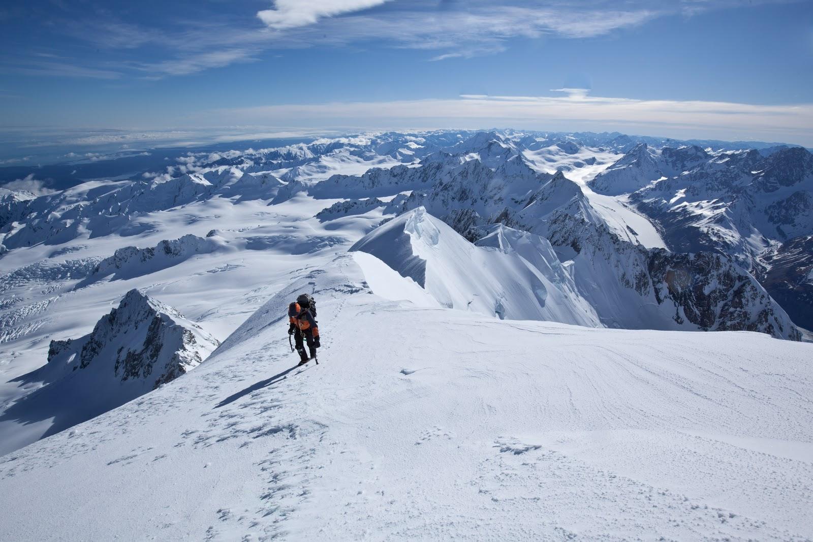
Photos and Text by Lans Hansen After 3 weeks of waiting with bags packed, watching weather reports and praying a nice big high would make its home over the South Island, we were off. We were amped; that morning’s long range forecast showed four perfect days in the Mt Cook National Park, after plenty of time for the last storm’s dump to consolidate. Great, we thought, as we boarded the next available Interislander. This was to be my first major mountain trip, joining the veteran team of John Yu (China), Vincent Zintzen (VeeZee), and Paul Bird (The Bird). After some successful climbs over the past seasons, Tasman was the next big summit on their list. For myself, a fine-weather sport climber and somewhat hesitant mountaineer it was an opportunity too good to pass up! Not four hours later, as we pull into Picton, we get word that there’s a storm coming, and now the forecast showed gale force winds and rain on 3 of our days! Hopes dashed! Suddenly my idea of summiting on a nice blue sky day and having tea on the summit was replaced with a vision of us pinned to the mountain by a tempest storm, with me having to warm The Bird’s frozen hands with my armpits. (I heard rumours that this happened during one of their training trip to Ruapehu, but no-one talks about it of course except when it is time to play with The Bird). It seems I wasn’t the only one with my doubts, and we pondered with the options of turning around and waiting for a better window, or keeping on heading south and hope for the best? After wrestling with the decision for an hour we decided to just camp in St Arnaud for the night and check again in the morning. The following day the report had marginally improved, and with encouragement from VeeZee who was already on the West Coast, sunbathing coolly, we set off somewhat hesitantly. When we arrived in Fox Glacier town later that day - after several hours checking phones for updated forecasts - the weather was no more encouraging: patchy rain and overcast. The vision of the tempest still fresh in my mind, I was relieved to have a night of respite at Porters Lodge, with another day for us to decide this was all madness and go back to sport climbing at Kawakawa Bay, or somewhere else calm and sunny, with a beach and bolts. The following day was clearer and we collectively decided to take a helicopter into Pioneer hut for the chance we would get a good day. The chopper lifted off and we were committed; the weeks of weather report watching and waiting were over and it felt great. Plus, helicopters are awesome (that was my first ride)! Saturday, we landed on the glacier at 11am on a still morning and our objective was clearly visible… but the hut was not. Nowhere in sight, it was almost completely buried. To our delight somebody had already dug out the entrance: the hut book read. “Dug out the entrance. Took 2 hours!” Our planned route up Mt Tasman Via the North shoulder Over lunch we decided on our plan: head out across the glacier during daylight to find a route around the crevasses, then have a day’s acclimatisation before the forecast better weather/summit day on Monday. Route finding up the glacier was relatively simple, with the exception of one snow bridge we had to cross ‘under fire’ from ice debris falling from Mt Haast above. After 2 hours plugging steps in ankle-deep snow we were close to Marcel Col and decided to head back down to hear the 5.15pm radio weather report for the following days. Tasman shrouded in cloud on Saturday evening with our freshly made track running out across the glacier. With forecast “…winds rising to gale” on Monday’s planned summit day, we concluded that our best option was to climb tomorrow, or rather in 6 hours, when the weather was only “strong winds and patches of rain”. After a final look at our objective, still veiled in cloud (above) we retired to the hut for the night to get what sleep we could. We roped up and set off from the hut at 1:30am, following our tracks back across the glacier as patchy clouds drifted around us in the dark. The wind that had been forecast the entire trip was nowhere to be seen and we made good time climbing Lendenfeld and descending the other side to Engineers Col. From here, we knew the long ridge leading up to Tasman’s North Shoulder should begin, but our quick pace meant we arrived in the pitch black, and all we could make out was the presence of an ice cliff that threatened the steep ridge rising into the blackness before us. After pondering several unappealing route options we decided to dig a ledge in the ice encrusted slope and wait for first light in the hope a better route would become apparent. After 45 minutes and several near incidents with us drifting off to sleep - only waking mid-slump towards the void that ran off below us - we could see the full serac, and right underneath a promising route. Beginning the climb up to the ice cliffs, with Lendenfeld in the background. Feeling positive about the route and keen to get moving as fast as possible to avoid spending too much time under this massive serac, we set out, soloing on a mixture of hard ice covered in places with deep powder. By now the face was illuminated with surreal pink alpenglow that contrasted the cold blue world we had emerged from, and our exposed position and incredible surroundings became apparent. Once around the ice cliffs, it was a calf-burning but relatively straightforward 200m climb, front pointing on good ice to regain the ridge and, shortly afterwards, the North Shoulder. From here we could see across to the summits of Cook and Tasman, the latter still so far away. We traversed along the shoulder and came to the second ‘fun’ part, rumoured to be called the Notch. We quickly understood why the nickname…The ridge we followed narrowed to an ice encrusted knife edge, with 1km drops either side to the glaciers below. China delicately crossing the icy ridge China set out to investigate the ridge, and to my relief, we made the