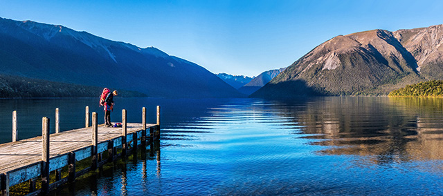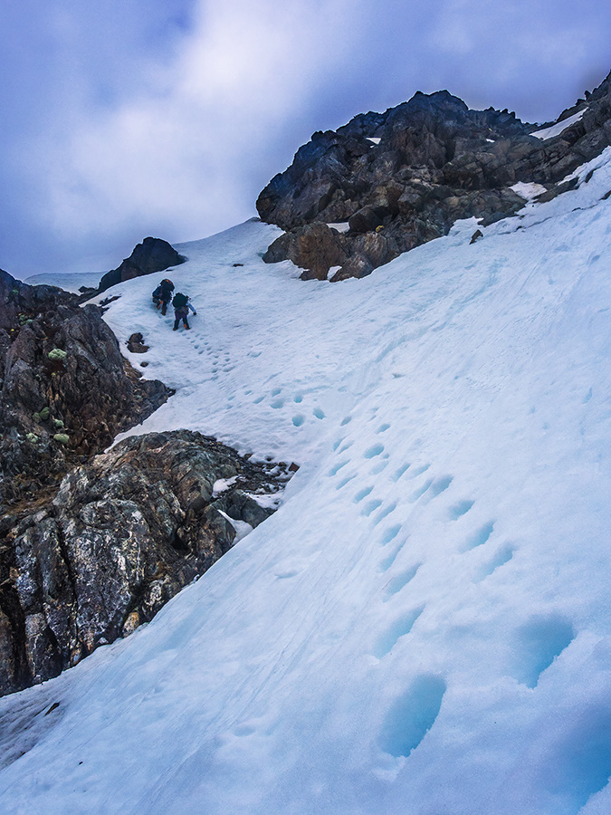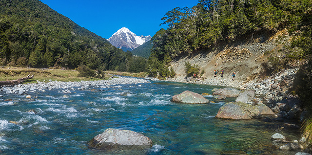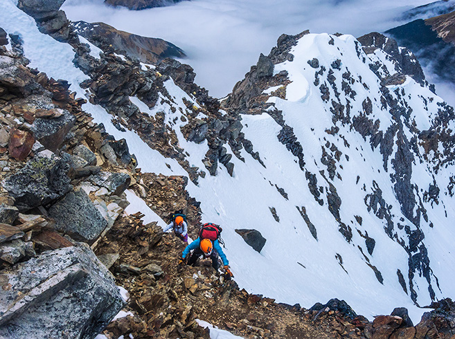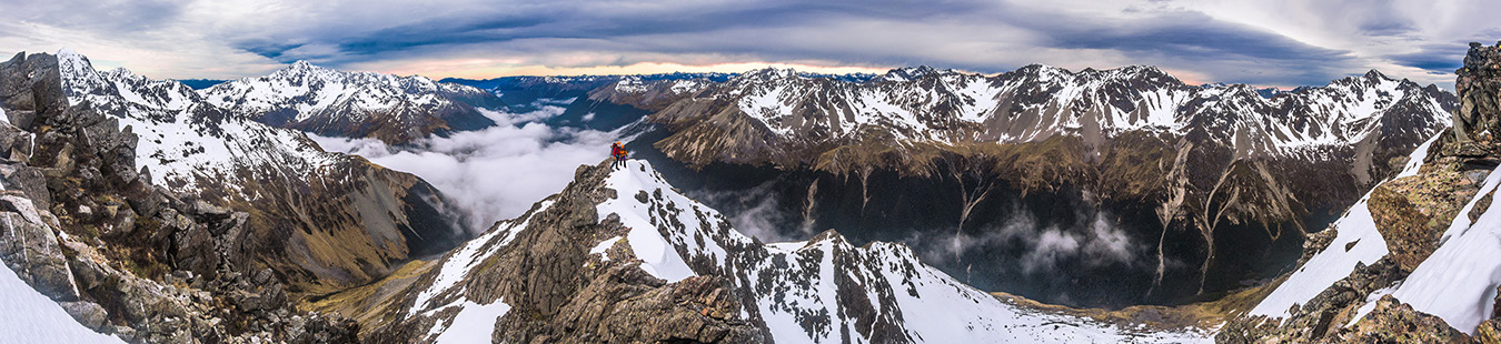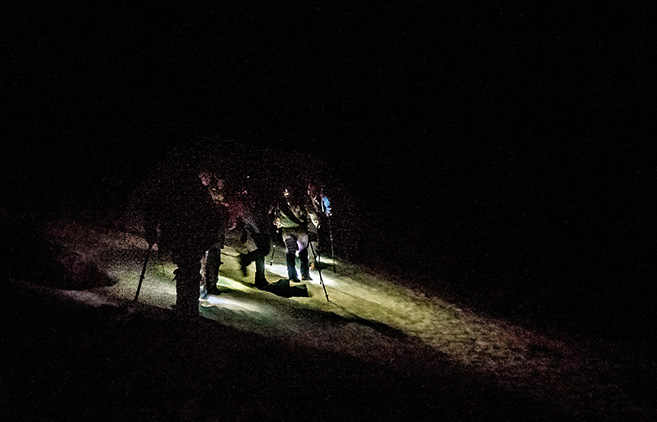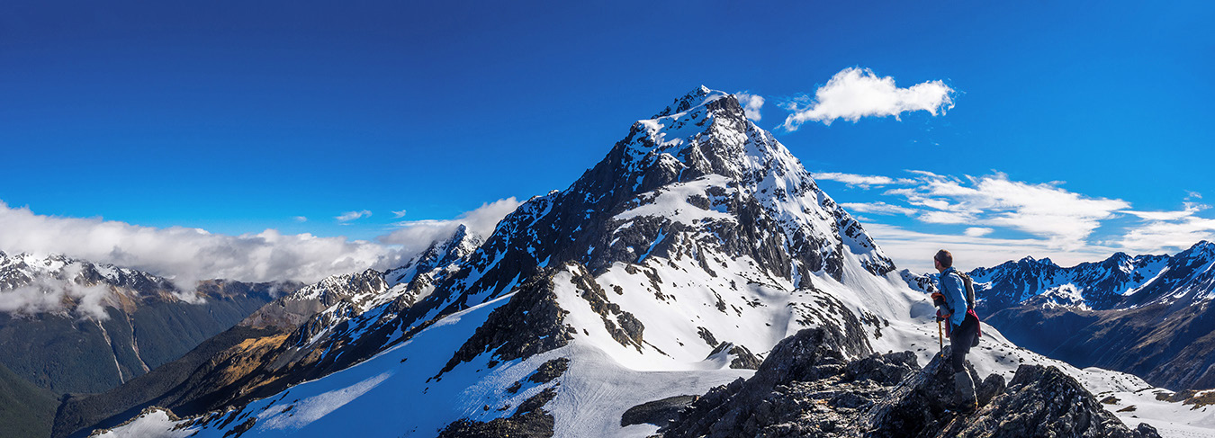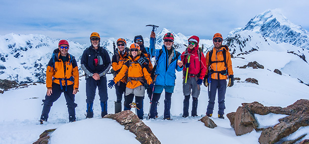
An attempt on Mt Travers, Labour Weekend Words and pictures Peter Laurenson Well that didn’t work – this rock is no better than the sugary, treacherous snow I was craving respite from. My climbing companions Caro and Simon and I had been tentatively plugging upwards, out of the dawn, towards Mount Travers’ northeast ridge. There had been no freeze overnight and, nagging at the backs of our minds, was a deteriorating weather forecast. The snow was a problem. While the steps we kicked as we pot-holed upwards were deep, they sometimes gave way without warning. Our route took us up steep, exposed snow slopes, interspersed with stretches of shattered rock. Our ropes remained in the pack because there were no possibilities to put in solid protection. Our axes were really only good to aid balance – successful self arrest was very unlikely. Approaching the most exposed section of snow and rock beneath the northeast ridge Crossing Cook Strait we were still in a lovely weather window, due to close about midday on our intended summit day. The usual story authored by Mr Sod. A late night and fairly early start at St Arnaud saw us gliding across the mirror surface of Lake Rotoiti in Hamish’s water taxi just after 8am. With pretty hefty packs, even with water taxi assistance, we still had a good 22kms to go to reach Upper Travers Hut, 700 vertical metres higher up. I was a little nervous. I’d had keyhole surgery on my left knee exactly five weeks earlier, so I wasn’t sure how well it would tolerate sustained weight and effort. As I write, three weeks on from our return, I now know that the timing of our trip wasn’t exactly ideal for my recovery, but Voltaren kept pain and inflammation at bay very effectively during our four day journey. We sweated our way up beside the Travers River under a cobalt sky. It was hot, so the cover of gladey beech forest for much of the way was a blessing. We got our first good look at the top four hundred or so metres of Mount Travers before John Tait Hut, at a bend in the river where a slip had taken out a section of the trail. It looked muscular – a classic looking summit. After a pause for lunch at John Tait Hut, roughly the halfway point, we soldiered on. By the time everyone had arrived at Upper Travers Hut it was nearly time for dinner. Situated amongst trees just below the treeline and commanding an expansive view back down valley, with the eastern flanks of Travers soaring above, the generously proportioned hut is a beautiful place to stay. Our journey began on the Interislander two evenings before. Then our party was six – an Alpine Club trip led by Simon, our energetic Wellington Section President and organised by his industrious partner Caro. Nina, Ian and I are also Section members. I also had my youngest son Will along. An early glimpse of the top 400 or so metres of Mt Travers’ southern aspect From the shoulder we lost about fifty metres as we sidled around to the next snow field, giving us access to the northeast ridge, just beneath a 2,127m highpoint. As we climbed, the gradient increased and the sun’s first rays began to make their softening and loosening effects felt. At 1,900m we paused beneath a rock buttress on the lip of a tiny schrund to rearrange gear and discuss our next move. Simon lead up through steep snow around patches of rock while I waited a bit to get some photos. By the time I caught them up we were all starting to feel the early emotional impacts of sustained and increasing exposure. I led on through and decided to test my theory about the rock looking friendlier than the snow at that point. After sorting out our gear it was an early dive into our sleeping bags to catch a few of the zeds lost the previous evening and to be ready for a 3am wakeup. At the sound of the alarm I peeked out to see, aside from the multitudes of twinkling stars, a completely clear sky. This was Will’s first alpine start. He discovered how unappealing breakfast can be so early in the morning but, to offset that, he also enjoyed the otherworldly sensation of ascending terrain in the hovering pool of his head torch. As I cursed myself for my stupidity, Nina announced that she was not feeling well – possibly a dose of norovirus that had been doing the rounds recently. She was considering turning around and, when Ian heard all this, he also decided that perhaps our intended route might be a bit beyond his burning thighs on this particular dawn. The view north from the north east ridge, with Mt Cupola (2,260m, far left), Mt Hopeless (2,278m, left), the Travers Valley in fog and the St Arnaud Range, right At about 1,500 metres we reached the snowline and soon donned our crampons. This is where our first problems emerged. Will’s crampons wouldn’t stay in place. I’d fitted them properly the night before, but I hadn’t done as well in fitting his feet to my spare trekking boots. There was just too much give and they kept popping off. So, as the first inkling of a new day began to backlight the St Arnaud Range across the valley, three headed back down to the hut and three continued up. I am eternally grateful to Nina and Ian for going down with Will. For a moment there I thought my climb was over before it had really started. And as we progressed higher, my gratitude only magnified as I realised that, on this day, the route would have been unacceptably dangerous for Will. As the others’ head torch beams grew smaller and smaller below us, Simon, Caro and I headed north and up to a broad shoulder at 1,880m. On the shoulder we enjoyed an expansive dawn view across to the St Arnaud Range and down the Travers Valley. I soon realised that, while the rock made a convincing impersonation of Weetbix, like the snow, it was definitely not to be relied upon for safe handholds or footings. “How far to the ridge” was Caro’s hopeful call below me. “Can’t be far now, but I still can’t see the top yet”. Another stint on snow and then Weetbix later and I still couldn’t see the ridge directly