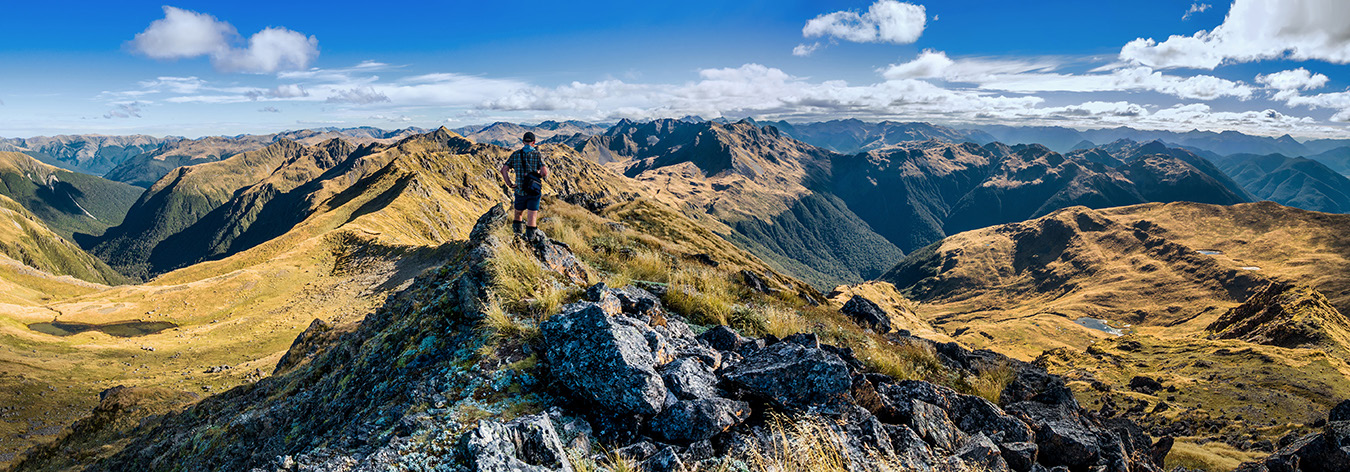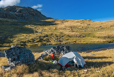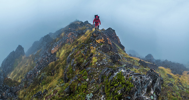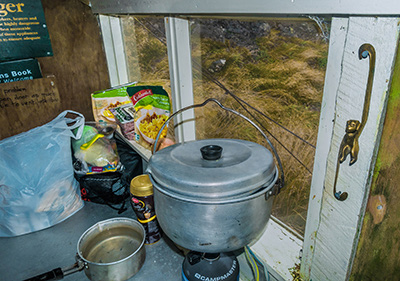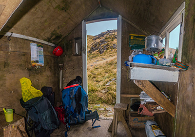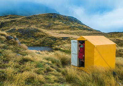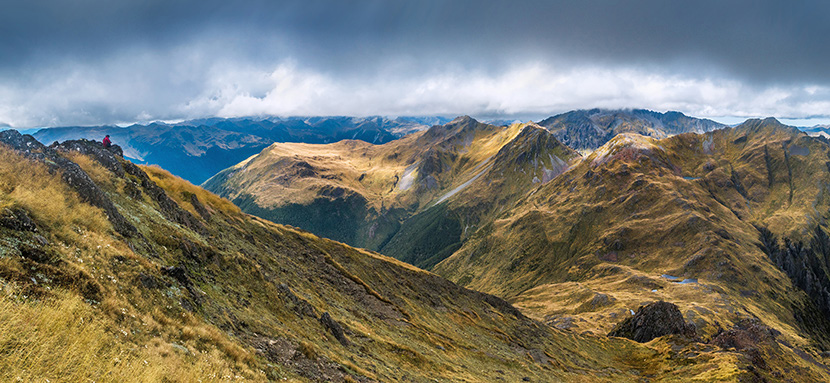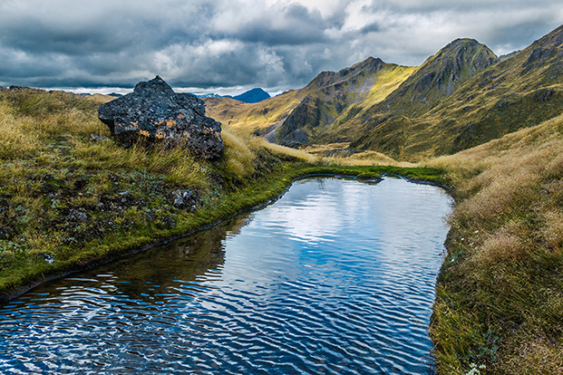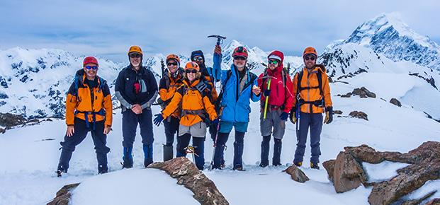
Exploring tops in Lewis Pass National Reserve Words and pictures Peter Laurenson It seemed like the weather had been sunny and scorching for weeks. Drought conditions were being endured at various points around the country and the fire hazard was set at high. Shaun Barnett had some unfinished business on an 1,870m crag known as Mount Technical on the Lewis Tops in the Lewis Pass National Reserve. He’d climbed it before via the west ridge, but wanted to have a crack at the more technical north ridge. My boots had never trodden anything in the Lewis Pass area, so anything was worthy of a look as far as I was concerned. Although the weather forecast indicated a change coming, we hoped the clear weather would last a bit longer. After flying to Christchurch from Wellington, we picked up a rental car and drove up SH7 to a car park at 863m. From near the car park the Lewis Tops Track climbs rapidly up to nearly 1,600m – quick access to the tops, always good in my view. Because the north ridge of Mount Technical is graded a 3, we carried a rope, harnesses and some rock anchors. We also had a tent and other related paraphernalia, so the weight of our packs had the sweat streaming out of us in the bright sunshine as we made our way along the tops, passing numerous inviting looking tarns. The north ridge of Mount Technical was soon in view, looking suitably craggy. If we’d been able to begin walking that morning we would have had enough time to tackle the north ridge on the same day, but by the time we reached a saddle beneath the Apprentice, an easy-to-reach 1,678m highpoint a little to the northwest of Mount Technical, there wasn’t enough daylight left. A little below us, nestled in a broad cirque, lay another tarn that looked like the perfect spot to camp. But before we headed down there to set up, we dropped our packs and scrambled up the Apprentice. The top commanded superb 360 degree views. Shaun rattled off many facts about the peaks, ridges and valleys surrounding us. The landscape stretched further out in every direction than I’d imagined. Regrettably though, clouds were gathering in the south west and the wind was building. Above - At our tarn camp (1,550m), with the Apprentice behind Below - A view south and west from the summit of the Apprentice. Lucretia is directly ahead and the Grand Duchess (1,703m) slightly to the right. Our camp tarn is far left The Biv is literally a two metre cube, with the top relenting into a small roof pitch (at two metres I might even be being generous). One side has a door, another a window. The back wall has two bunks, with the top bunk designed for contortionists. Though tiny, once we got settled inside, the interior did seem a bit larger than you’d expect it to be from the outside – a bit like Doctor Who’s Tardis in fact. Although the weather hadn’t been conducive to any serious climbing, clearings in the clag during the afternoon encouraged us out to explore the terrain around the Biv. More tarns cropped up as we wandered over the folds in the landscape. And a steep scramble leading up to a 1,674m highpoint to the west couldn’t be ignored. Once on top, again we were rewarded with beautiful views. The cloud base smothered the last 50 or so metres of distant Mount Technical, but everything lower than about 1,800 metres was in view. Back down in the snug shelter of the Tardis we enjoyed many brews, several forms of chocolate and then another good sized dinner as we waited to see what the weather would bring. If it improved we hoped to sidle around ledge systems to have a crack at the 1,700m Grand Duchess. In the craggy but open terrain there are many options open in every direction, at least if conditions permit. It wasn’t to be. Next morning the weather had only worsened, so our thoughts started to dwell on the potential for swollen rivers preventing our escape. Our best option, other than retracing our steps over uninviting tops, was to descend into Duchess Stream, follow deer trails mostly on the true right to begin with, then cross the stream and sidle upwards to avoid a steep narrow gorged section. It was wet, slippery, arduous going. At times the deer trails were quite apparent, but frequent, sodden, in-your-face tree branches made it difficult to see our feet. Eventually, after four or so hours of up and down we dropped a couple of hundred metres to the end of Duchess Stream and joined the Nina Valley Track. An old section of the track led us astray on the true left, chewing up another 45 minutes, so it was a pleasure to finally dump our dripping packs at Nina Hut. Down at the tarn we set up camp behind some sheltering boulders, enjoying smoked chicken, pasta and veges a la Barnett. There was to be no sunset though as the clouds really piled in. Sometime after dark the rattling of rain on our tent fly didn’t sound encouraging. The weather system had arrived even faster than forecast and, next morning we agreed that there was little point trying to climb treacherous, slippery rocks into viewless soaking clag. At least Brass Monkey Biv offered small scale shelter a few hours walking, over 1,643m Lucretia. In very limited visibility it took us longer than expected to find our way across rugged, sometimes narrow and exposed ridge tops to the Biv. At one point a packless wrecky was needed to navigate seemingly bottomless bluffs, but after three or so hours we descended below the cloud base and saw beneath us a tiny yellowish orange box sitting beside a tarn. Brass Monkey Biv – its location was as evocative as its name. Left - It’s not called Brass Monkey Biv for nothing Centre - Inside the Tardis Below - An exterior view Heading south west, beyond Lucretia (1,643m) along the craggy ridge towards Brass Monkey Biv A view east from the 1,674m high point, back to Brass Monkey Biv (lower right) and the route we took that morning, back to Mt Technical - top right, shrouded in cloud Down below 700 metres at the hut though, a new and evil challenge very