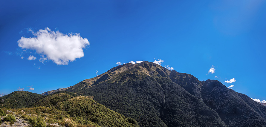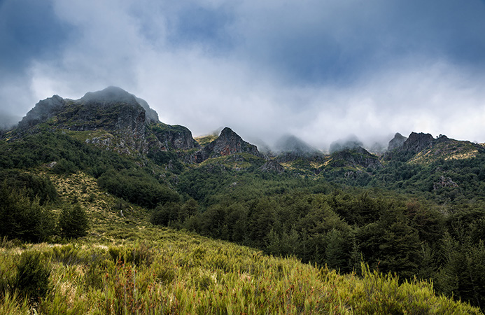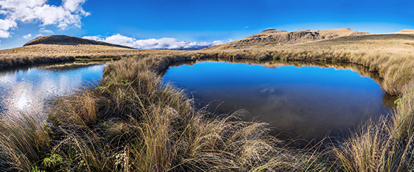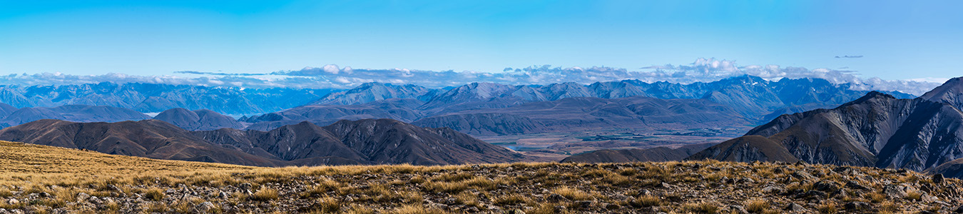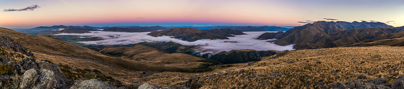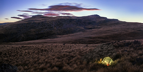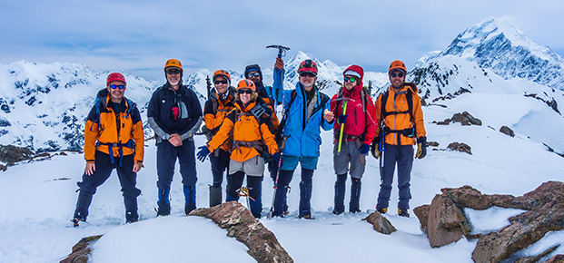
An overnight circuit over Mount Somers Words and pictures Peter Laurenson To Cantabrians it’s part of their backyard. To trampers more generally, a nice excursion in summer and a great training climb for novices in winter. The main routes on Mount Somer’s are certainly not technical, but its landscape offers more than you might expect. For one, it’s big. From the Sharplin Falls carpark to the summit involves a 1,200 metre height gain. The standard route can be done in a day, but there are good reasons to take less direct routes so you can enjoy some fine Canterbury high country scenery. I’d never been to Mount Somers, so when I heard that Shaun Barnett was going there to get some information and images for his book on short walks I grabbed the opportunity to join him. While Shaun had covered much of the Mount Somers Track, which circumnavigates the entire mountain, he hadn’t been over all of the south face section, so that’s the route we took. From Sharplin Falls carpark the south face route heads left/west, climbing steadily to Staveley hill at 1,085m. This is where the standard route to the summit branches right, becoming the Mount Somers Summit Track. Another 700 metres of relentless slog, up through rocky terrain, will see you on the summit (1,688m). This is the way we descended. At the branch in the track, we continued on around the south face track, skirting beneath steep craggy pinnacles that ring the southern and eastern edges of what is actually a large flat summit area above. When out of the beech forest we enjoyed expansive views of the Canterbury Plains. Soon we came upon Acland Shelter. Then the trail dips through beech forest to around 800 metres, before steadily ascending again to 1,100 metres. Far left - a section of Mt Somers’ craggy south face shrouded in cloud Above - Tarns at 1,280m on the northwest side of Mt Somers. Our campsite is left and the summit area of Mt Somers right Below - Looking back to Mt Somers’ summit, from near Staveley Hill (1,085m) As the track starts to veer north there is an old 4WD track that climbs north and then east, leading to a large tussock and wetland shelf at around 1,200 metres. Up there the landscape mellows, with a softly curving eastern skyline and many thirst quenching tarns – the perfect place to camp, which we did. Our site was on the western edge of the shelf, on a small highpoint at 1,300 metres, affording expansive views out to the Manuka Range and Clent Hills to the west, the Winterslow Range to the north and the summit skyline to the east. For two photographers, dawn was a particular treat before we resumed our now gradual climb, up through tussock slopes and rocky outcrops, to the summit. Our descent was down the steep rubble of the standard route up to the summit - the Mt Somers Summit Track, which linked us back to the route we started on the day before, near Staveley Hill. A little later, down at the café at Staveley, the coffee and cake went down well. For more captioned images and a route map www.occasionalclimber.co.nz Above - A dawn panorama from 1,300m, taking in the Winterslow Range (right), Manuka Range and Clent Hills (left) Left - Our campsite, with the summit area of Mt Somers above Below - A view west across the broad flat summit area of Mt Somers Powered by volunteers We’re always thankful for volunteers and members stepping forward to help the section run smoothly. A lot goes on to keep our club going, virtually all powered by volunteers. On the back page is our “Club on a page” summary. It gives an at a glance description of all the things we do, how and why. Feel free to print a copy and pass it on to anyone who might be interested in becoming a member or volunteer. And if you’d like to learn more about how you could get involved, please email us at wellington@alpineclub.org.nz. Role Name