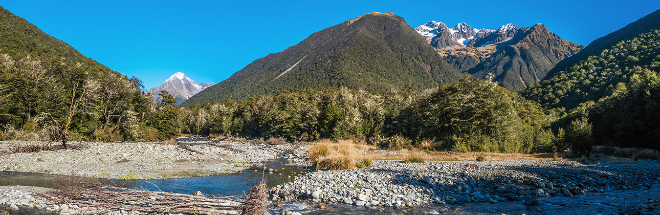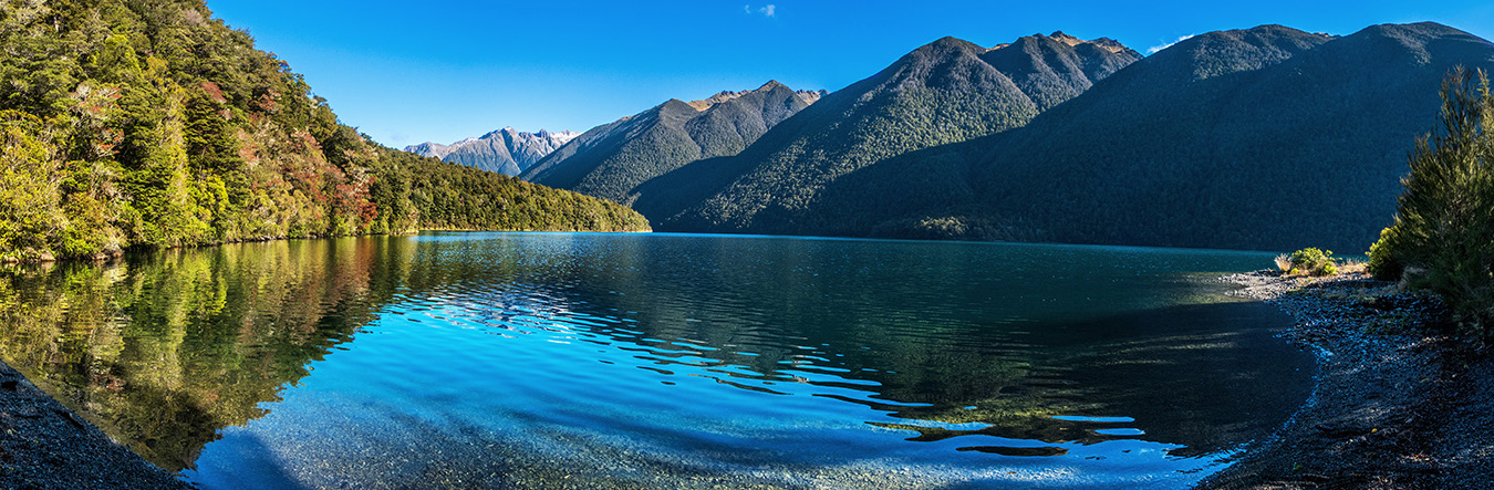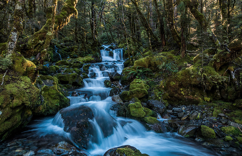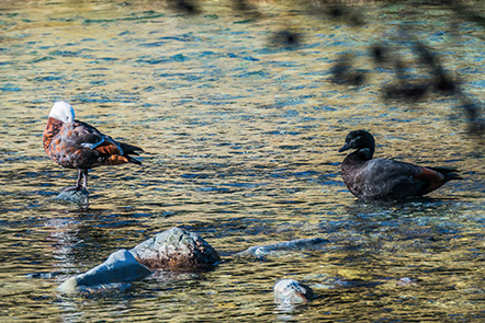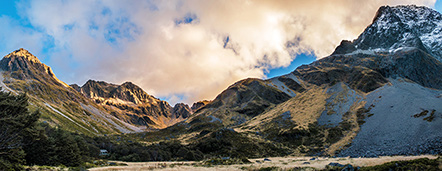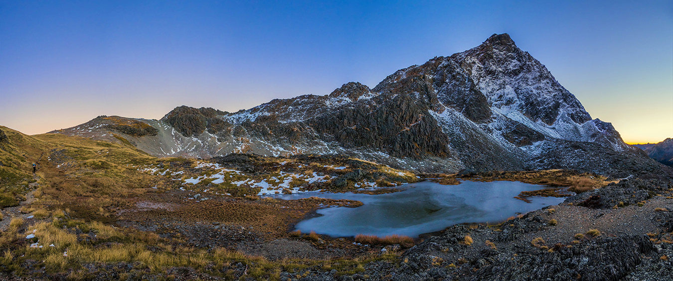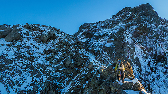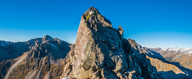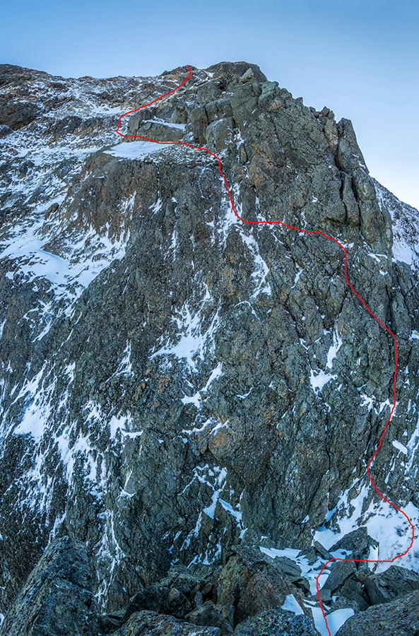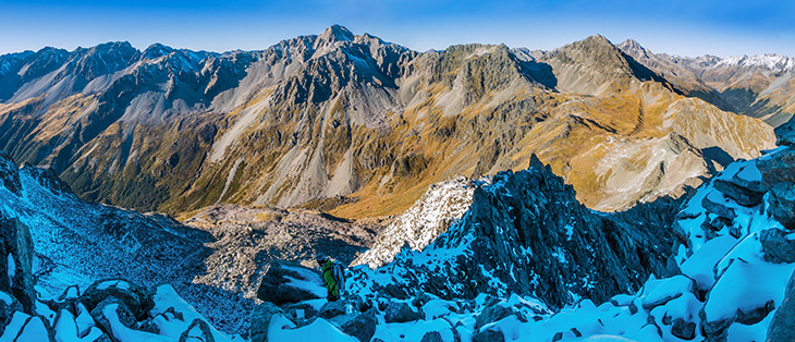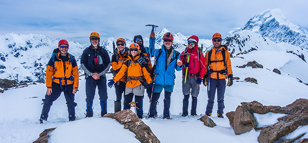
An attempt of the south ridge of Mt Travers, Nelson Lakes Words and pictures Peter Laurenson I was slow. We reached John Tait Hut after four and half hours, had some lunch and then, as the gradient increased beyond John Tait, my pace slowed further as my misery levels increased. Another three hours and I trudged in to Upper Travers Hut. James, who is an energiser bunny on steroids at the best of times, had romped ahead and had the billy boiling for when I arrived. As we’d made our way up the valley that day occasional glimpses of Travers and other tops revealed patchy snow up high. This was of some concern because the crux pitches on the south ridge are steep. We hoped this section would still be free of loose snow and ice. Tomorrow morning would reveal all. Luckily we shared the hut with just two French women (who were crossing Travers Saddle next morning) who took the other bunk room, because my evil cough reached maximum heinousness during the night time. My Codral supplies were taking a hammering but I consoled myself that our packs would be lightweight on the climb and the weather remained perfect. We were away a little before dawn, reasoning that we needed daylight before the notch so we could accurately assess the conditions above. I paced myself as James patiently and uncomplainingly ignored my spluttering. We reached Travers Saddle at dawn and our way ahead, along the south ridge, was painted in warm hues. The photographer in me rejoiced. Below - A tributary stream just north of John Tait Hut Above - Paradise ducks on Travers River, north of John Tait Hut Above - Upper Travers Hut bottom left, Mt Travers right Above - A pleasant distraction from coughing on the way out I’d been along this ridge for a recce with Simon Williamson back in October 2017. Then there had been a lot more snow. This time we didn’t strike any until about 1,800 metres and even then, it was loose, patchy and totally unconsolidated. Underneath it lay loose rocks and scree, interspersed by jagged blocky protrusions. At about 1,950 metres a noticeable buttress rears up. This is where our recce ended in 2017. It was time to don our harnesses as the climbing got more interesting. I had not appreciated how large the buttress actually is. It proved much longer than I’d expected and involved some interesting scrambling up over and sometimes sidling around several small gendarmes – one even required our rope. The condition on the slopes falling off the ridge wasn’t encouraging. Not enough snow to give any crampon and axe confidence – just slippery treachery. Often, where there was no snow, lay a coating of verglas. Above - On top of the buttress, heading towards the notch Above - One of several minor obstacles along the buttress The South Ridge and face of Mt Travers, viewed from Travers Saddle (1,787m) at dawn At the notch at 2,000 metres we gazed down to the narrow snow splattered saddle, then up the mostly snow-free but verglas-coated face giving access to the summit slabs. Ice filled sections of the crack that the first pitch follows. The early morning sun glistened on ice-covered mossy slabs above. Cough or no cough, it looked too dangerous to me. James is a far better rock climber than me and felt that he could still make progress on the crux pitches. His main concern was the exposed slabs above. We agreed that, if they were more of what we’d encountered on our way to the notch, then it was time to back off. It’s always disappointing if I reach this point on a climb, but later, back at the hut, we still both agreed that it was the right call on the day. In my virus depleted state, I also felt considerable relief once our decision to descend was made. I consoled myself that at least we had two more days in which to complete the circuit over Travers Saddle – a route neither of us had yet done. Back at Upper Travers Hut we turned our minds to the route of the next two days. An examination of the map quickly made it apparent that they would be two long days – fine if I was in a fit state, but enough to break my resolve as more waves of coughing fits ensued. We had a brew, packed up and began a retreat the way we’d come in. John Tait that night, then a long walk out to the carpark, ending in a trudge around the eastern shore of Lake Rotoiti on day three. It was nice to reach warm civilisation back in Christchurch later that evening. Just as well because my temperature rose with the onset of the shakes. As I write this two weeks later I’m still coughing, but at least I’m off the Codral. Mount Travers remains unfinished business – a summer trip I think … For more captioned images and route map www.occasionalclimber.co.nz Above - A view south to Kehu (2,220m) from about 1,900m Left - The approximate route into the notch, then up a first pitch to a small ledge, followed by a diagonal pitch left to access the summit slabs Powered by volunteers We’re always thankful for volunteers and members stepping forward to help the section run smoothly. A lot goes on to keep our club going, virtually all powered by volunteers. On the back page is our “Club on a page” summary. It gives an at a glance description of all the things we do, how and why. Feel free to print a copy and pass it on to anyone who might be interested in becoming a member or volunteer. And if you’d like to learn more about how you could get involved, please email us at wellington@alpineclub.org.nz. Role Name