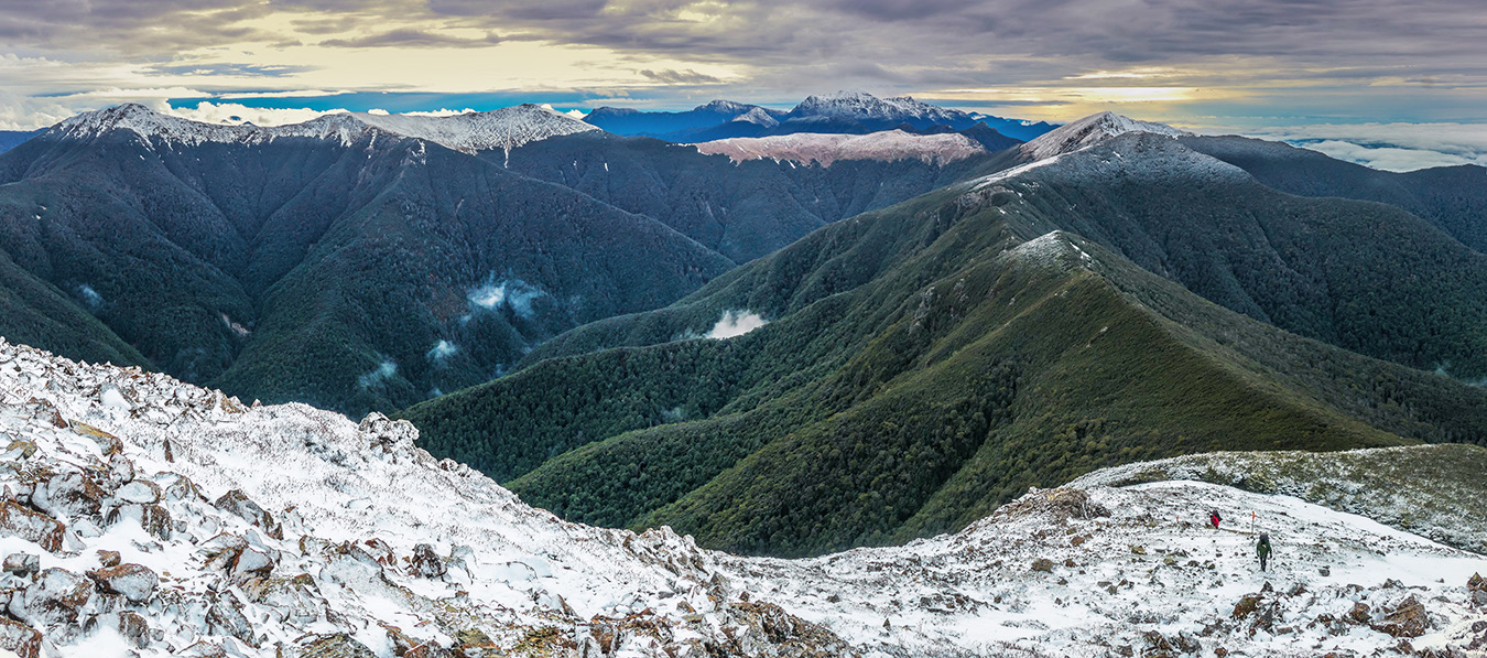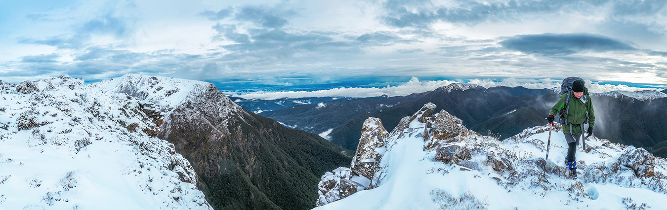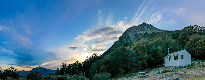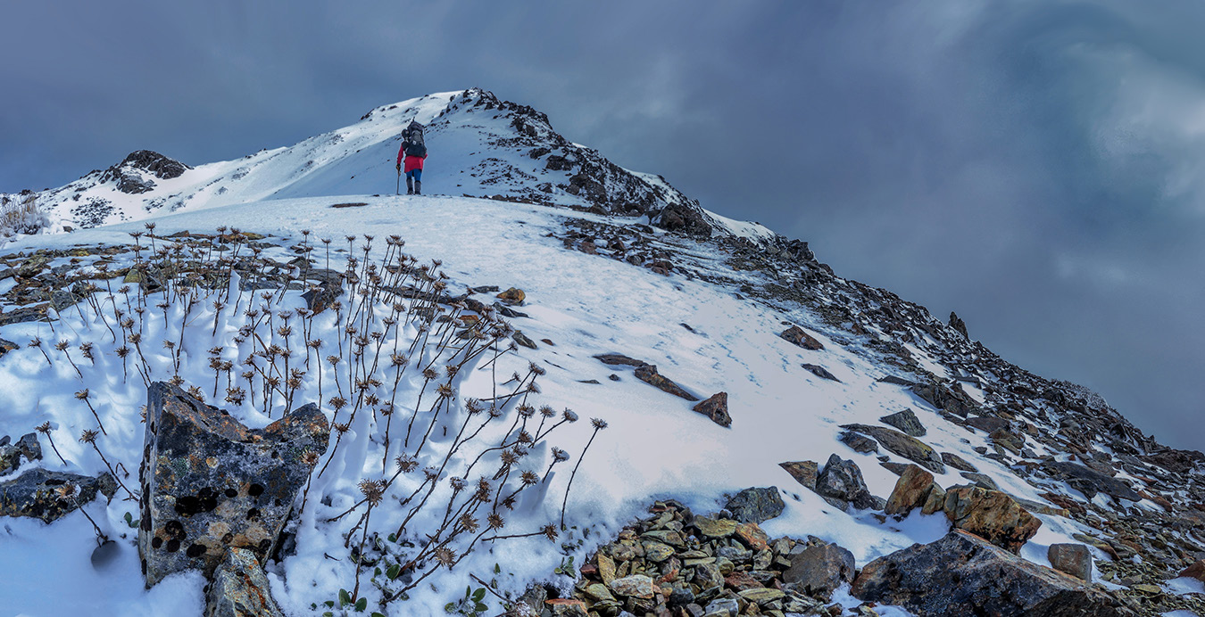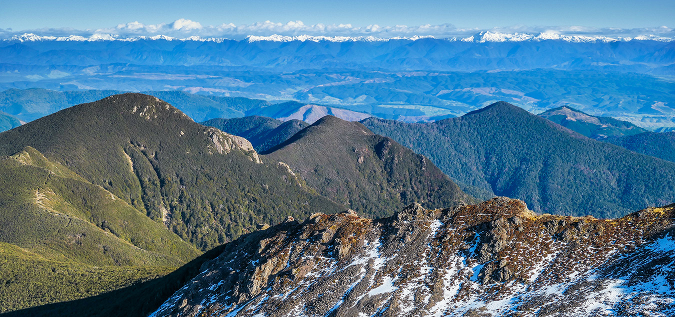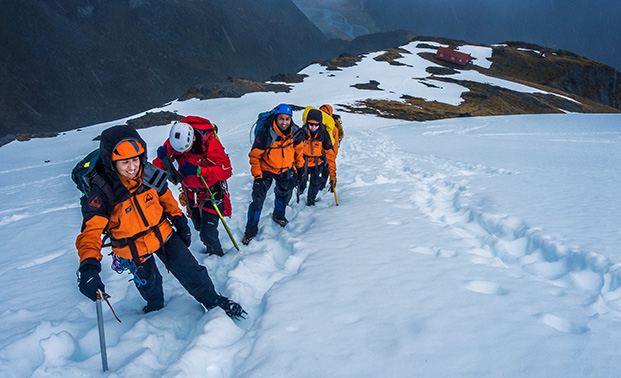
A six day traverse in the Richmond Range Words and pictures Peter Laurenson Five days earlier we began our journey, in bright sunshine, where Aniseed Valley Road meets the Hacket Track. This trail follows Hacket Creek for an hour or so to reach Hacket Hut, gaining very little altitude. From there our climbing began. Another couple of hours saw us drenched in sweat, about 1,000m higher up, at Starveall Hut. The tree line in the Richmond Range is above 1,400m - higher than most other places in New Zealand. Starveall Hut is just under 1,200m, but it sits in a dip clear of trees, offering nice views towards Mount Starveall. Shaun had been over this route before but it was all new for me. I knew that the weather was going to deteriorate, so before dinner I made a quick dash up to the summit of Starveall, a little more than 300 metres above the hut, for sunset. It’s always a pleasure to move without the burden of a heavy pack so, as the clouds reorganised themselves in preparation for rain and snow, I enjoyed photographing ridges and peaks stretching out in all directions as the sun’s last rays painted them in warm yet brooding shades. Robbie had done a sterling job. A pile of similarly cut lengths of tree-fell lined the side walls of the generous open hearth inside Mid-Wairoa Hut. The flames licked hungrily towards the chimney opening, demonstrating well the self confessed pyromaniac’s fire lighting skills. ’One of the true pleasures’ he observed. Shaun and I nodded our agreement. It was our fifth and last night in the Richmond Range. Robbie Burton and I had signed up to another ‘Barnett special’. Shaun knows the backcountry so well that he has a knack for conceiving excellent routes that link together many sections of tops in one continuous circuit. And the route we’d all just enjoyed was his Plan B! If the weather had behaved we would have made an attempt on Mount Murchison at Arthurs Pass, but as it transpired, the Richmond Range proved to be the right place to avoid the worst of the weather. Being September, there was still some crampon action to be enjoyed on the highest tops and, over the course of six days tramping, we didn’t meet another person. As the fire crackled and glowed, I reflected on what we’d read in the hut books during our journey. ‘More NOBOs. SOBOs. Heaps of them – at least between November and April. If we came back here in two months time we might struggle to get a seat beside the fire.’ Now that the Te Araroa Trail passes right along the Richmond Range it seems to have had a dramatic impact. Hut book entries painted a busy picture, even alluding to water shortages at times. Looking back northeast from about 1,600m on Little Rintoul to Old Man (1,514m - right), Ada Flat and Slaty Peak (1,544m - left of centre). Mt Richmond (1,760m) and Johnston Peak (1,647m) are the snowclad peaks in the far distance (right of centre) During the night rain fell, accentuating the cosiness of my sleeping bag. Next morning, the mist and drizzle outside encouraged us to get away in a leisurely manner. Depending on how the weather panned out, we would try to reach Old Man Hut, which involves a nice stretch of tops travel. But if the weather remained poor there was no point in covering that ground in clag, so we had the option to call a short day by staying at Slaty Hut, which is what happened. About three hours on from Starveall Hut, Slaty Hut sits right on the treeline beneath Slaty Peak 150 metres above. Unconsolidated patchy snow lay about, giving a nice alpine feel. Before sunset, I climbed up to Slaty Peak, again in the hope of some photographic action, but billowing cloud made that aspect underwhelming. Nothing for it but to hunker down beside the hut’s cast iron stove and dry our gear. Next morning we set off again with hopes of clearer weather that would allow us to put in a fairly long day, over Mount Rintoul and down to Rintoul Hut. But we had another short-circuit option in Old Man Hut, should the weather remain clagged. This time we were away earlier and an initial clear spell rewarded us with lovely views northeast, back along the Range. Soon though the clag was back and we plodded through swirling cloud. Sometimes a partial clearing revealed steep bluffs to our left and I regretted not being able to see the landscape in clear conditions – it looked like it would be spectacular. Our only company during the four or so hours it took to reach Old Man Hut was a small family of goats. They seemed to be enjoying the seclusion as much as us and didn’t hang about to chat. On top of Little Rintoul (1,643m), with the main summit at distant left Rintoul Hut (1,250m) at dawn, with Mount Rintoul (1,731m) behind The 250 metre drop off the ridge to Old Man Hut is big enough to avoid if possible, but the weather left no doubt about calling it a day at that point. And just as well, because as we’d discover next day, the section between Old Man and Rintoul Hut offered a bigger challenge than we’d anticipated. If we’d carried on in such poor visibility it would have been dangerous. Old Man Hut sits in a clearing surrounded by dense beech forest. It’s not known for its views but the pot belly stove pumped out enough warmth to keep us chirpy. With time on hand we sought things to keep us occupied. The pyromaniac busied himself in a frenzy of wood cutting. One of the gnarled branches decided to fight back, striking Robbie in the side of the head and opening up a small gash of claret. Shaun patched him up and he was soon back on the end of the saw. When we set off three days earlier, the forecast had indicated an improvement for day four. We had high hopes as we bided our time at Old Man Hut that evening and, sure enough, next morning dawned the clearest it had been. Mount Rintoul was the business end of the trip so we set off soon after 7am with purposeful anticipation. It didn’t take long to regain the ridge, which led on up through beech forest. Soon the branches were weighted by snow and then we